It's just a little overview of some climbing places in Alsace.
The first indoor wall is at Uni.... It costs only 30€/y to have an access to the trainings at midday, a free access on the monday and friday night (between 20hrs and 22h30), and a fulltime acces to the bouldering area. It's just a 7m high wall but the routes are always enough difficult. There is also a bouldering area with a good overhang!!!
 The Uni's wall
 The boulder
But the most interesting walls are outdoor.... There are at least 43 crags at a one hour drive from Strasbourg, 7 crags in the Vosges mountains, and around 40 cliffs in Switzerland just after the the south border of Alsace .
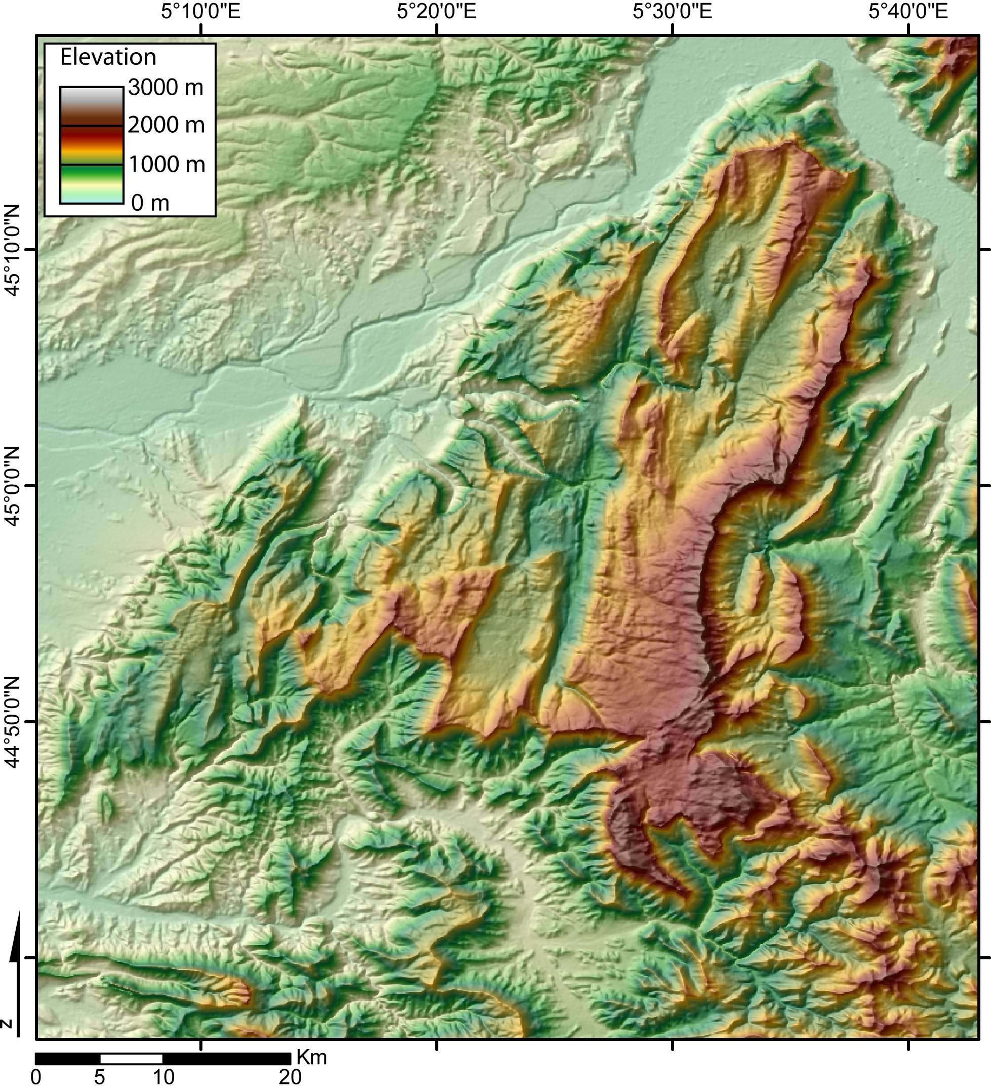
If we have a look on the geology, there is a red sandstone in the north and all along the Vosges slopes in the Rhin valley, limestone in the south and in Switzerland, and granit on the top of the Vosges mountains.
In the north of Alsace, the cliffs are usually associated to an old castle. They are on the top of the hills like a rock forgotten by the erosion and sculpted by the wind. The grip is very good and the range of grades is large (from 13 to 33, and the common gardes are between 19 and 25). The most part of the route are bolted, so sport-climbing is very usual... Sorry there is just trad routes in the Vosges mountains!
The following pictures show you some of my favourite cliffs.
The Langenfels
One of the biggest; approximatively 100 routes!
 The first sector; a 35m high tower with the classic route (21),
and there is 5 at all
 The Fleckenstein castle; no climb on this one, it's a museum!!!!
But... Yes there is a but!!! The first sector is very close to the entry of the castle's park, and all along the day we can hear a lovely loop played medieval song.... At the end of the day, all the climbers are humming the song!!! Hopefully there is 5 others sectors far from this!
 Nico in a nice 24
 Me in the same one
 The view from the top of the cliff
 The second sector
 The third sector with Fred in a 25/26
 The back of the third sector
The Lorenzo Boulderfels
This one is the biggest bouldering area in the North os Alsace, but there some others ones in Germany just after the border. The blocks are not very high, but it's still interessant!
 Steph in a 18
 A view of the biggest sector
 Julien in a 19

Me in a 19, nice overhang with just some little pinch
 The surprise; the little tree is a green holly!!! Don't fall on it!


 And sure... Always a place for a quick sleep!!!
The Falkenfels
This one is in an other province called Moselle.
 Steph in a 22

 Sam

 The most difficult sector... A nice overhang with a conglomerate layer in the middle

The Mühlberg
The best one for the beginners, because you can reach the top rings by a back way to attach the rope.
The best one for the beginners, because you can reach the top rings by a back way to attach the rope.
 Me totally blocked under an overhang
 Sam in "le bal des vampires" (23)
The Windstein
One of my favourites!!! It was an castle,so there is still some tunnels trough the cliff and a deep well (or pit)!


 Me in "Viol à mains armées" 19
You can find some other pictures here
Petit Arnsberg
This cliff is on the german border.


 The village of Obersteinbach
The Loewenstein
This one is also on the german border! There is one of my favourite route (a 22/23), the end is like a ship's bow!!!
This one is also on the german border! There is one of my favourite route (a 22/23), the end is like a ship's bow!!!


 This part of Alsace is called the "outre-forêt" (something like overforest)
Klingenthal
One of the rare quarry! We can climb there very often all along the year, because the orientation is south!

The Lac Blanc (The white lake)
A nice 100 meters high wall on the shore of a lake!!!


Gueberschwir


Another nice one for the beginners and the pro! The bolts are really new and well placed. And the Alsace wine road is very close....


The Waldeck
You climb on the cliff just below the main tower!

You climb on the cliff just below the main tower!


These two websites are the most practicals to have an overview (in french sorry);
http://pagesperso-orange.fr/serge.haffner/index.html
http://www.escalade-alsace.com/
I hope I'll see more australian climbers here now!!!
http://pagesperso-orange.fr/serge.haffner/index.html
http://www.escalade-alsace.com/
I hope I'll see more australian climbers here now!!!